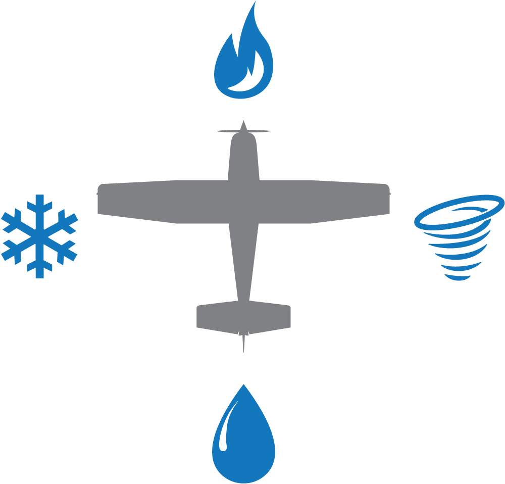
Back to Surveillance
Civil Air Patrol assists during crisis

Organization relies on aircraft fleet to carry out lifesaving missions
A day of playing in the snow in the Nevada mountains turned frightening for a young family of six after the Jeep in which they were traveling swerved off the road and flipped upside down. In the wilderness, nighttime temperatures dipped as low as 20 degrees below zero in December. Out of cell phone range, they had food and water to last a couple of days but no way to call for help.
To find the two adults and four children ages 10, 4, 4 and 3, the United States Air Force Rescue Coordination Center called on U.S. Civil Air Patrol (CAP) for help. CAP’s aerial search capabilities, coupled with its Cell Phone Forensics Team, made it the best organization for the mission.
CAP volunteers help save an average of 78 lives each year
Over the next two days, four CAP Cessna® 182 Skylane® aircraft and 14 members participated in the search. Using coordinates provided by CAP’s cell phone experts, searchers Salvador and Lucia Paredes found the family two days after they were reported missing.
“A searcher on the ground spotted the missing family’s silver 2005 Jeep Grand Cherokee with binoculars and called the sighting into the nearby command post, leading a CAP plane and ground searchers to the area,” said CAP Nevada Wing Commander Col. Tim Hahn, who played a critical role in helping rescuers narrow the search area.
One of the world’s largest fleets of single-engine, piston-powered aircraft — 550 in total — belongs to Civil Air Patrol. More than 500 are Cessna aircraft, used by CAP to save lives, provide disaster relief and emergency services, perform aerial photography reconnaissance and assist with military training. The flexibility and capability of CAP’s aircraft make the fleet an indispensable tool.
“A lot of our missions involve being able to look down and spot things like missing aircraft and missing people, as well as taking photos of floods, tornado damage and other disasters,” said John Salvador, CAP National Headquarters’ senior director, who has worked with the organization for nearly 20 years.
“Sometimes, human eyes are the best tool to obtain the information required by emergency service providers and state and federal agencies to assess the situation. Because of their fuel efficiency and unique ability to fly relatively slow at low altitude, single-engine aircraft are very cost-effective for this purpose.”
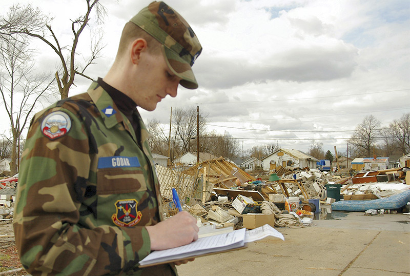
The CAP serves the U.S. in the air and on the ground. Here a cadet helps to document hurricane damage after a particularly destructive storm.
When pouring rains flooded northeastern Colorado, the performance capabilities of the aircraft helped CAP capture critical aerial photos. Fast-moving water swept away homes, highways and bridges, and stranded thousands of people. Local, state and federal officials needed to quickly identify the damage in order to prioritize assistance and estimate costs so they could get funding flowing into the area for repairs.
They needed aerial photos, and lots of them. The Colorado Division of Homeland Security and Emergency Management called Civil Air Patrol for help.
To support aerial photography, CAP’s number one emergency services mission, most of the organization’s aircraft are outfitted with high-resolution cameras. Other high-tech tools include radar forensics and infrared cameras that register heat signatures and full-motion video. For those aircraft not outfitted, the systems are borrowed from CAP headquarters.
Because volunteers perform CAP’s services, it costs just $120 to $160 per flying hour, saving millions of dollars over other airborne surveillance options.
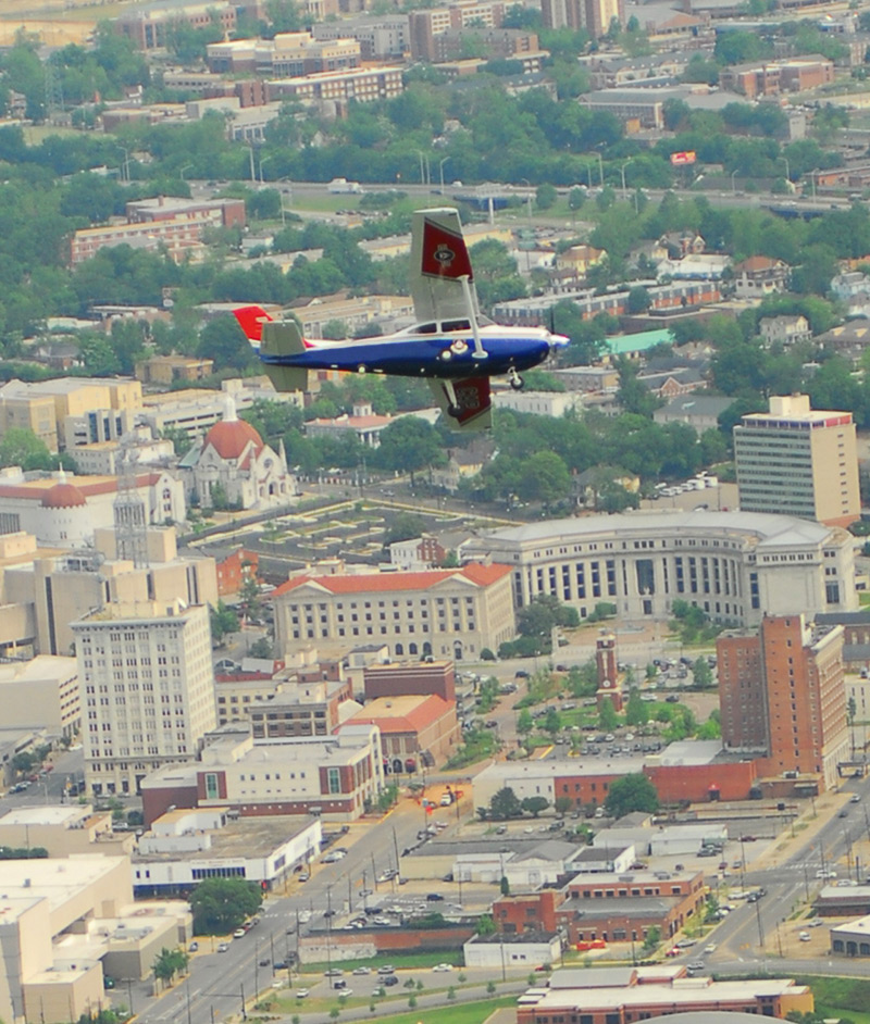
CAP operates the largest fleet of privately owned, single-engine Cessna aircraft in the world.
During the flooding, CAP took critically important photography on the ground and in the air. Using 10 Cessna single-engine aircraft, CAP members conducted 112 flights, 77 of which captured 10,061 images.
Aerial photography demands a great deal of skill to capture a clear image, because the photographers are traveling between 80 and 100 mph and shooting from a distance of one-quarter to one-half a mile away from the subject.
CAP’s aircraft also aided in other ways, including helping to keep the public informed about the disaster. CAP pilots flew three television crews over flooded areas to show demolished homes, roads and bridges. The aerial footage helped residents, many of whom lost both their homes and businesses, understand the location and scope of the damage.